Welcome to Biogeoinformatics (Biodiversity+Geoinformatics)

Biogeoinformatics.org is a non-commercial website where I publish and discuss the outputs of my research activities. In general, my research interests revolve around the interface between geo-informatics and biodiversity, macroecology and environmental science. I am also interested in spatio-temporal statistics, spatial (and temporal) modelling, environmental change, critical transitions in ecosystems, spatial resilience in environmental systems/biodiversity/ecosystem services, and remote sensing of biodiversity/ecosystems. As an example, I am interested in understanding and modelling dynamics of changes in environmental systems (e.g., ecosystems at different scales) and exploring how natural or anthropogenic driving forces affect the ecological processes associated with spatial patterns in biodiversity.
Currently, I am a postdoc researcher at University of Copenhagen, and before that I was a research associate at the Imperial College London, to work in Miguel Araújo’s lab. The focus of my research here is to developing new methods for modelling biodiversity under climate change and land use change scenarios to improve their ability for understanding of ecological processes associated with the patterns in biodiversity as well as to deal with the challenges in the methods. In addition, I am doing research on understanding and quantifying uncertainties in ensembles of environmental models while focusing on the application of geo-informatics. I am also highly motivated to expand the focus of my research to study and model critical transitions in ecosystems in the face of climate change.
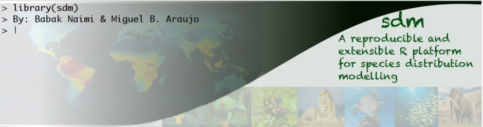
Another area of my interests is computer science specially using open-source technologies. I have a strong experience in programming (Python, R, C/C++). I recently developed a software package, StellaR, which can be used to translate system dynamic models from Stella into R. I am also working on a new R project package, named spdynamic (spatial dynamic simulations), which extends the outputs of StellaR by incorporating spatial context into dynamic simulation models. I also developed several packages in R including rts (raster time series), and sdm (species distribution modelling). I always do programming joyfully because it allows me to get a maximum level of understanding of problems, enhance my abilities to deal with problems, and furthermore, I can bring something into being that does not exist. always do programming joyfully because it allows me to get a maximum level of understanding of problems, enhance my abilities to deal with problems, and furthermore, I can bring something into being that does not exist.
Beyond my research background, I have been fortunate to obtain a wide range of teaching experiences (> 5000 hours). I had opportunity to develop new courses as well as to teach several MSc and PhD courses including “principles and advanced GIS and Remote Sensing (RS)”, “applied RS/GIS in environmental science”, “spatial statistics”, “spatial and spatio-temporal modelling”, “dynamic simulation modelling”, “spatial planning”, “spatial database management systems”, “Web-GIS” and “GIS programming”. At Imperial College London, I (with Prof. Miguel Araújo) organised and taught a PhD course on species distribution modelling (repeated for two additional years in University of Evora, Portugal), and also gave several lectures on machine learning, statistical modelling and spatial analysis of biodiversity data in an undergraduate course on biodiversity conservation.
Please take a look at my other website, r-gis.net that is dedicated to discuss the methods and topics about spatial data handling and analysis in R.
Please contact me for suggestion and comments. Thank you for visiting the site. Please bookmark it and come back often.